Before the advent of modern skiing the public’s interest in snow sports was mostly limited to watching ski races and ski jumping. Some hardy people took up cross country skiing. Seeing that interest the U.S. Forest Service using the Depression Era WPA, with the help of local ski organizations and the Chamber of Commerce, marked 34 miles of trails in the Donner Summit area in the 1930’s and 40’s. The trails were forty feet wide but ungroomed of course.
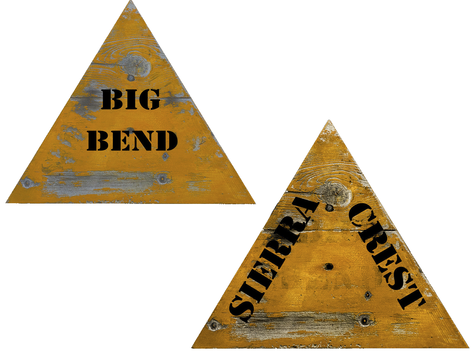
The sign here is one of the markers that were placed every 200 feet. After careful analysis it appears the sign was first in the Big Bend area, then repainted and moved to the flank of Mt. Judah. The lettering here was enhanced by the Donner Summit Historical Society’s MX-1000 Historical Rejuvenator with the settings turned to “medium” to keep some of the age in the sign versions. The tree on which the sign was affixed fell in 2016 and found by Art Clark, DSHS Mobile Historical Research Team. After rejuvenation the sign got its own display case.
Read more about the Sierra Crest or Sierra Ski-Ways signs: Sierra Ski-Ways I and Sierra Ski-Ways II (include links to maps and more pictures of signs Then, there are some Heirloom stories in our December, '10 and August, '13 issues.)