

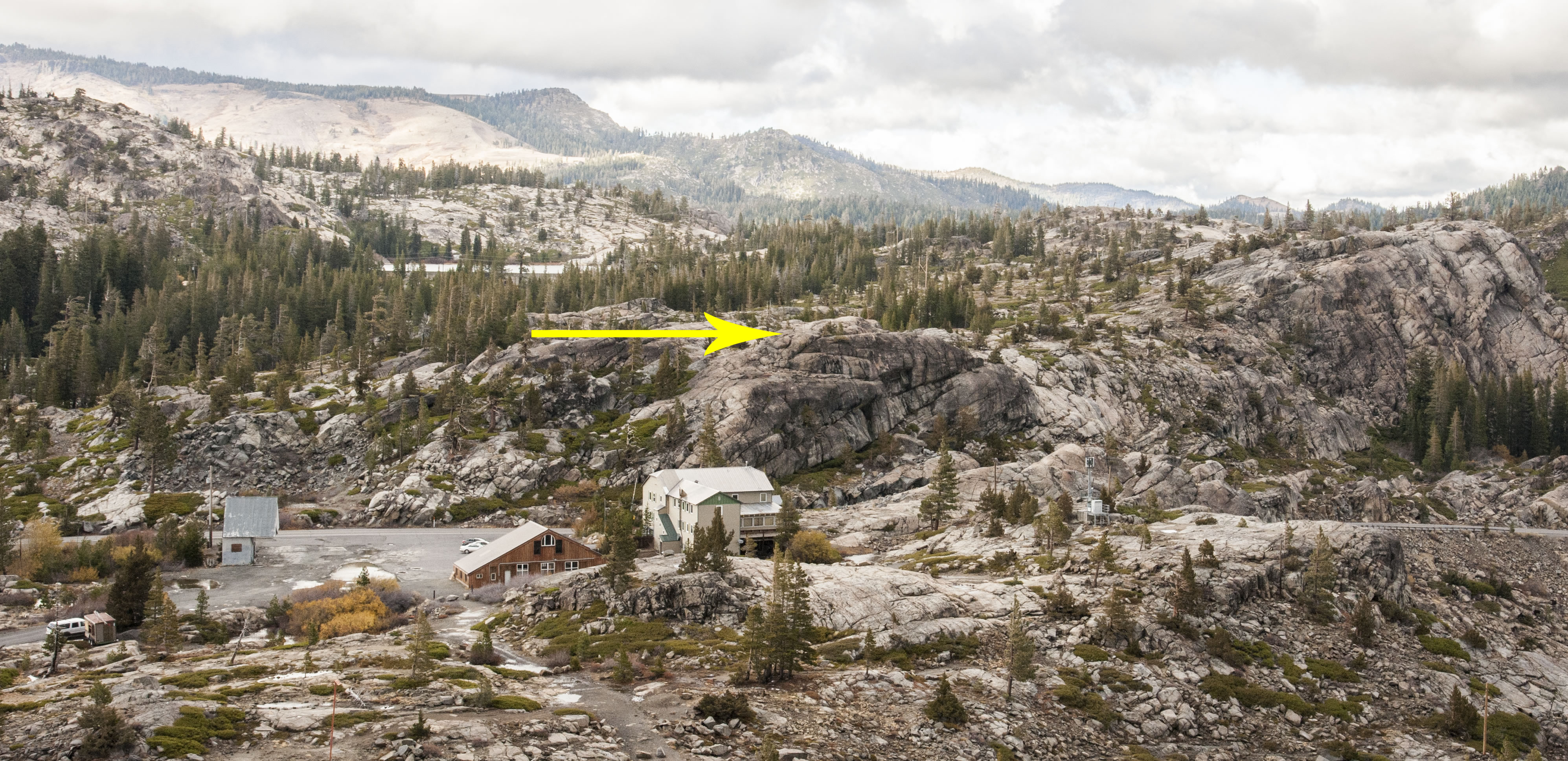
As you are climbing up the first switchbacks on your way to Mt. Judah look across Donner Pass to the north and to the rock just beyond the large building and across Old 40 (the tip of the arrow). A weather station used to sit on that rock with other buildings nearby. They were part of the first transcontinental air route.
 Before pilots had instruments for flying they flew by what they could see. All across the country there were beacons and weather stations for guiding planes. The weather station across the way was #15. The "15" was painted on one side of the roof in large numerals along with "SF" and "SL" for San Francisco to the west and Salt Lake to the east. "DONNER." was painted on the other side of roof. As pilots flew along they could track their progress by checking off the weather stations on a map.
 There were also beacons to guide pilots. Donner Ski Ranch's ski mountain is called Signal Hill because of the beacon on it. Look over at the peak and note the red tower to the right in the group of communication antennae. That's the old beacon. Underneath the beacon there is also a large concrete arrow to guide pilots. There were other beacons too. One sat on Beacon Hill in Soda Springs. Another sat at Troy, which is down Old 40 a few miles. There's also an arrow there. Instruments guide pilots today and besides, they fly at altitudes too high to be able to use the old transcontinental air route. The weather station was decomissioned in 1952.
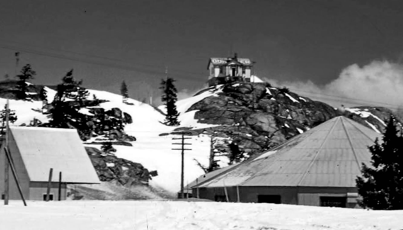
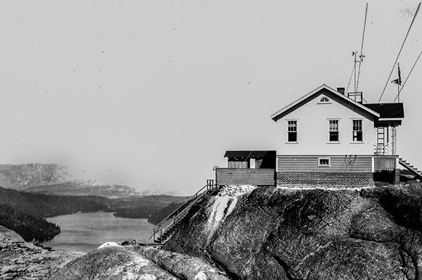
The weather can be so extreme on Donner Summit that when the weather station was built steel cables were stretched over it and anchored to the granite. That kept the building from blowing away.
The picture second from the top comes from Mark McLaughlin (an author, see From Longboards to the Olympics, Snowbound, and Weathering the Storm) showing the weather station from the south with the old Division of Highways Buildings in the foreground, and the bottom one from the Truckee Donner Historical Society.