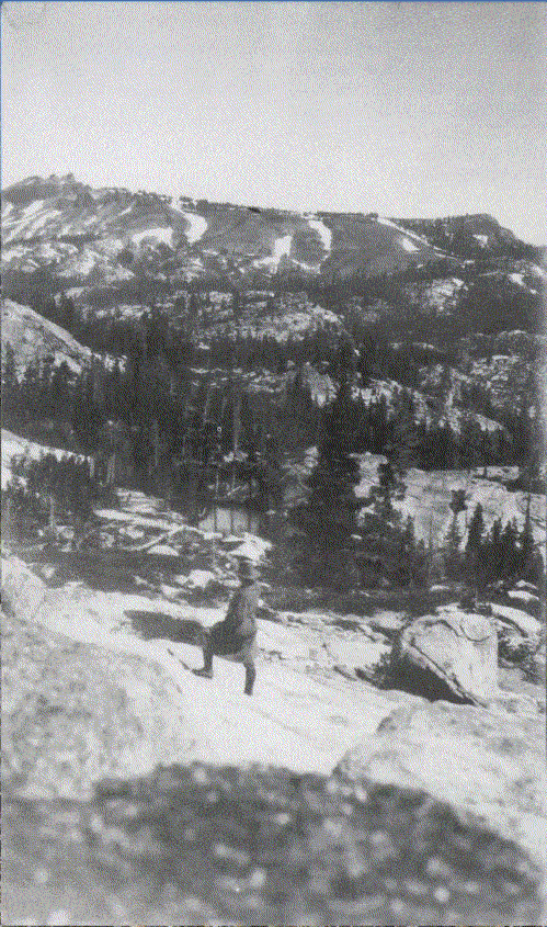
CE Davis N.E. of Lake Angela 1927
Charles E. Davis #104 In 1927 Davis traced the Donner Party route from Missouri to Sacramento. His notes on this photo said: "This view is what bewildered those, starving, dieing, Emer. On their arrival to the top of Summit Ridge. Below here some died, near this pretty little Lake they camped. Taken just over Ridge from Donner Lake." [sic]
Photo location 39° 19.535'N 120° 19.351'W Northeast of Lake Angela